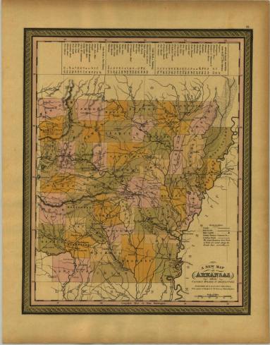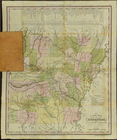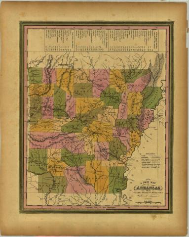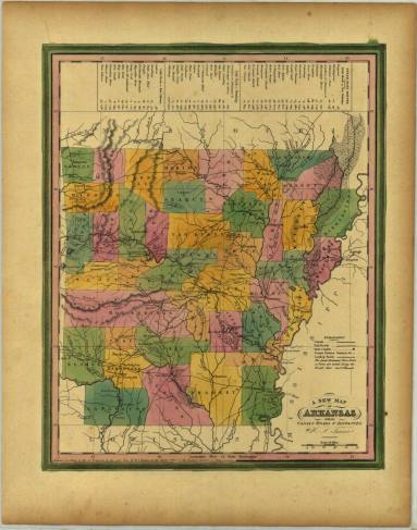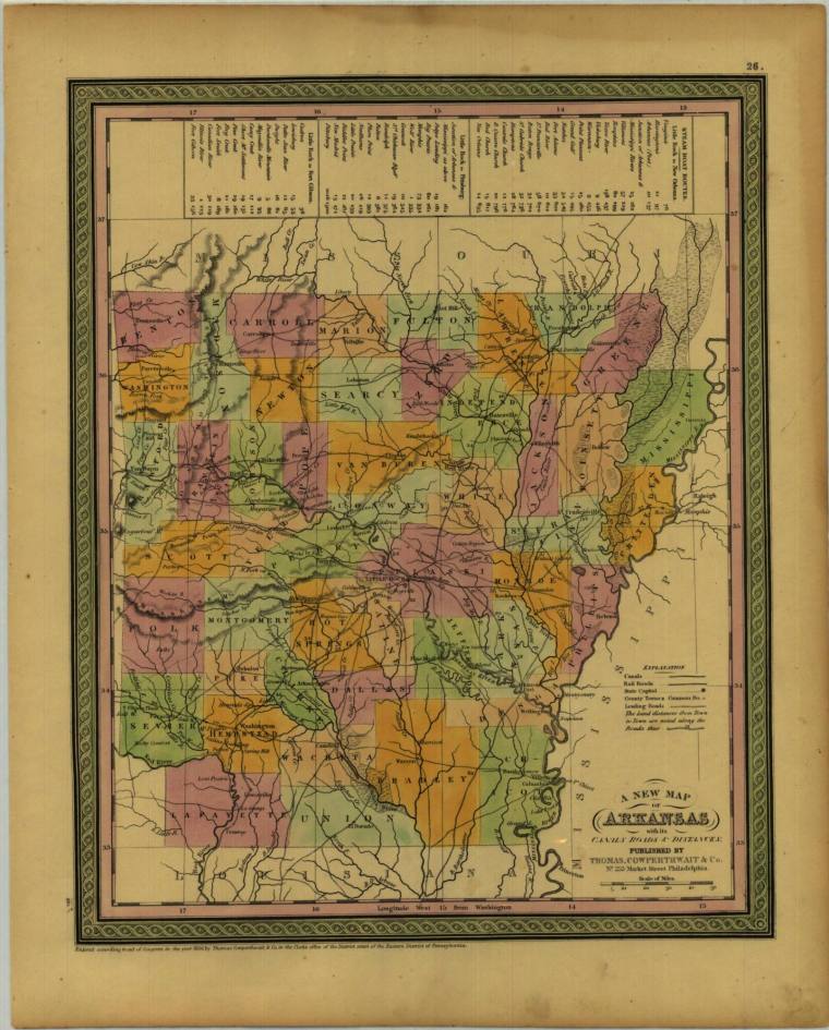
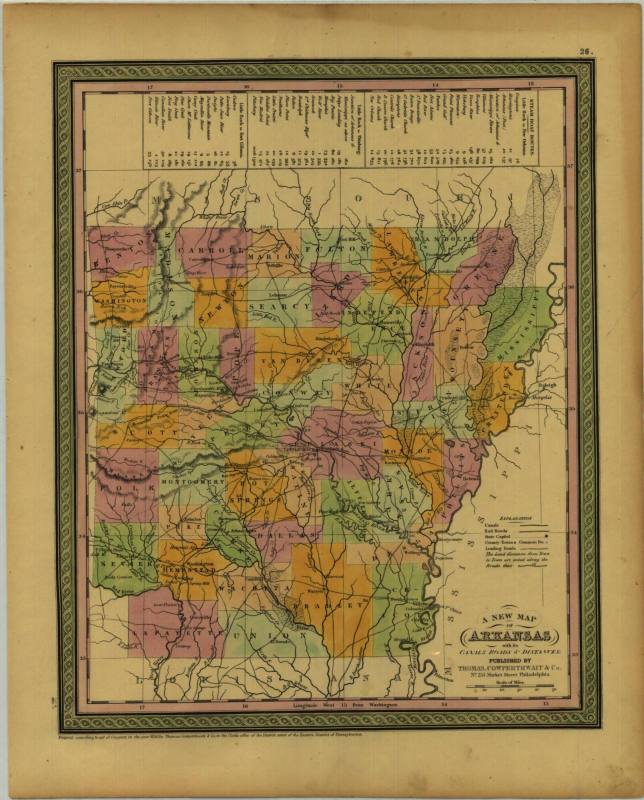
Map, State of Arkansas
Object number1977.162.00
Date1850
Mediumpaper and ink
Dimensions13 3/4 x 17 1/8 in. (35 x 43.5 cm)
Credit LineOld State House Museum Collection
Terms
- Map
- Map
Made by Thomas Cooperthwait & Co. at #253 Market St. in Philadelphia.
Status
Not on viewCollections