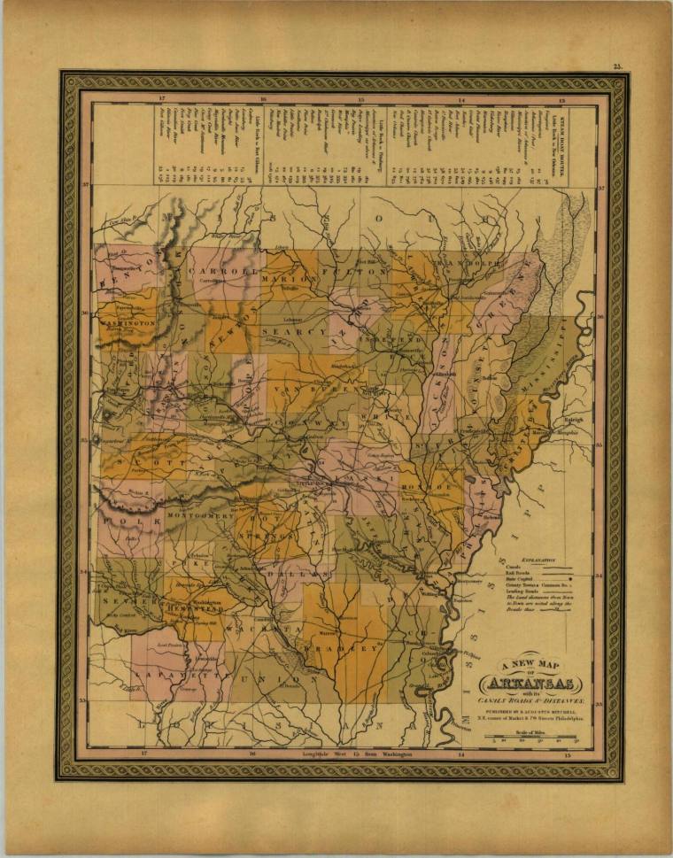
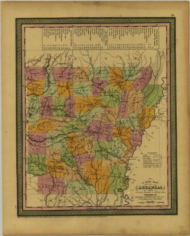
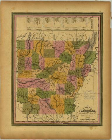
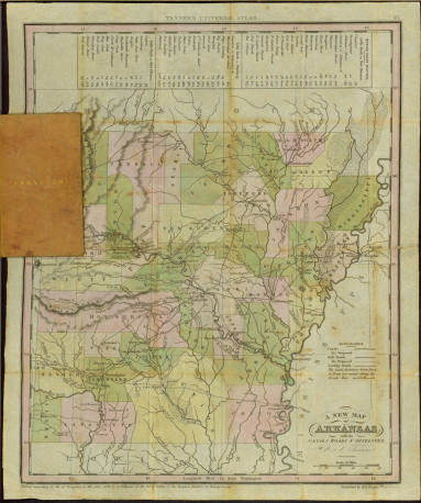
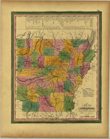
DescriptionColored couty map of Arkansas with decorative border. Counties shaded in red, orange, yellow and light green. Legends of steamboat routes with distances from Little Rock to New Orleans, LR to Pittsburg , and LR Fort Gibson. From the New Universal Atlas, published by S. Augustus Mitchell at NE corner of Market & 7th Streets in Philadelphia.