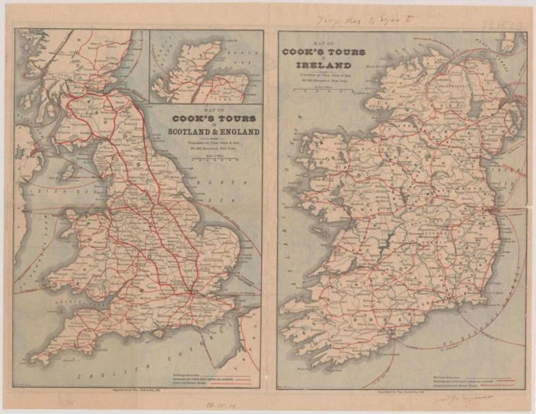
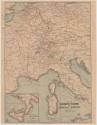
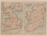
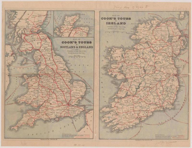
Maps - Cook's Tours: Ireland, England, Central Europe
Object number1988.048.01
Datebefore 1915
MediumPaper, Ink
Credit LineOld State House Museum Collection
DescriptionA map of Ireland, England, and Central Europe depicting tour routes. The maps feature images of Ireland, England, and Central Europe with red lines drawn to different destinations. In the white border, text has been written in pencil: "Keep this to refer to". When railroads were invented, Thomas Cook advanced the idea that general workers, not only elite, might be interested in tourism. He made a widespread system of carriers, over land and water, that was the first mass tourism or group tourism venture. Cook played an integral role in what tourist theorists today refer to as the "democratization of travel." Many famous people used Cook's tours in the nineteenth century, including Mark Twain.Status
Not on viewCollections