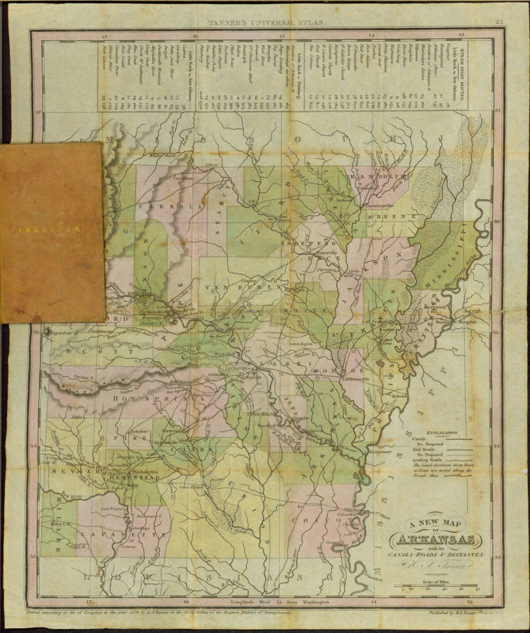
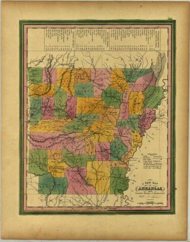
DimensionsMap open: 11 10/16" wide x 14" length
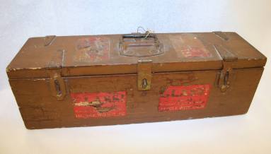
map case: 2 7/16" wide x 4" length
Credit LineOld State House Museum Collection
Terms
Map
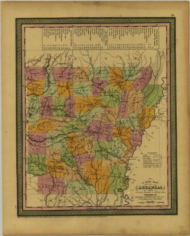
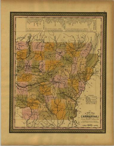
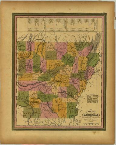
Description1836 map of Arkansas with small leather case. The word "Arkansas" is embossed in gold on the front of case. The map is "A New Map of Arkansas with its canals roads and distances. On the top of the map is shows the steam boat routes for Little Rock to New Orleans, Little Rock to Pittsburg and Little Rock to Fort Gibson. The counties are in pink, green and yellow. At the bottom of the map “Entered according to Act of Congress in the year 1836 by H.S. Tanner in the Clerks Office of the Eastern District of Pennsylvania