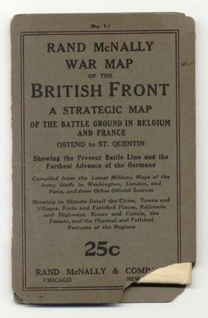
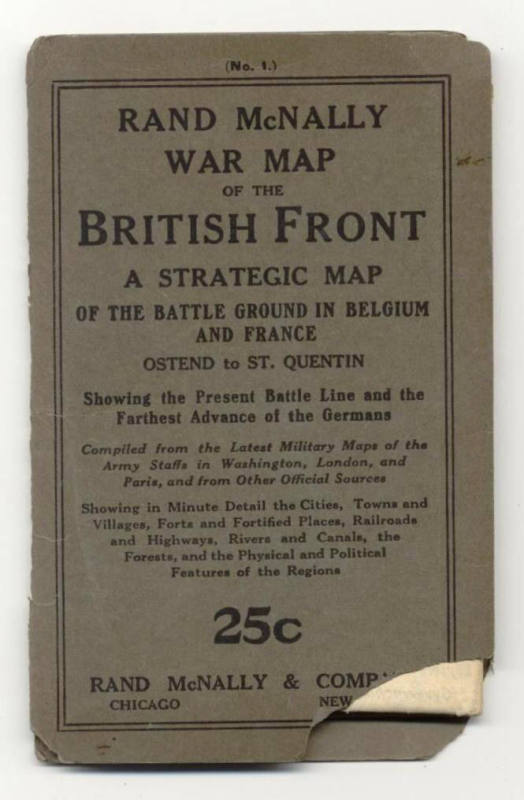
Map, World War I British Front
Object number1992.006.01
Dateca 1914 - 1918
Mediumpaper and ink
Dimensions6 1/4 x 4 in. (15.9 x 10.2 cm)
Credit LineOld State House Museum Collection
DescriptionCommercial World War I map showing the British front lines of battle against the Hun. A strategic map of the battle ground in Belgium and France, showing the present battle lines and the farthest advance of the Germans. Published by Rand McNally & Company.Status
Not on viewCollections
October 1918
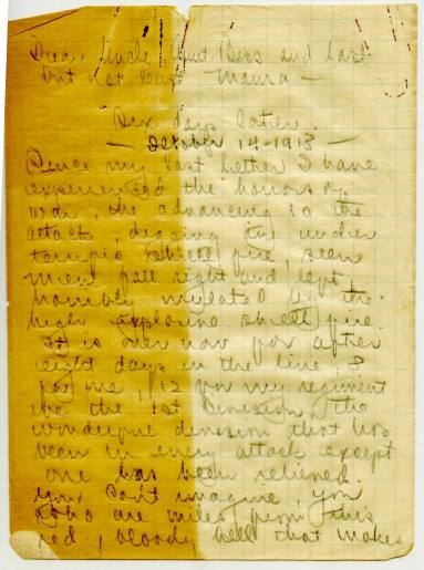
October 14, 1918
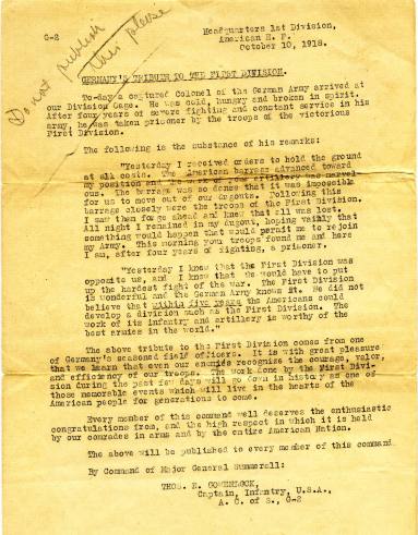
October 10, 1918