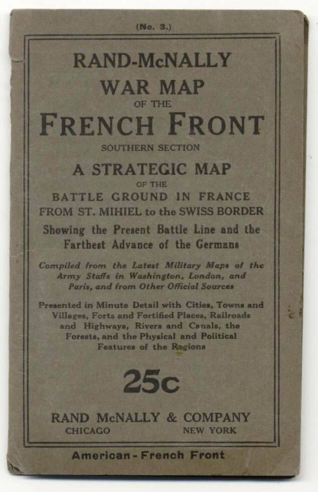
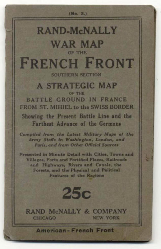
Map, World War I French Front
Object number1992.006.02
Dateca 1914
Mediumpaper and ink
Dimensions6 1/4 x 4 in. (15.9 x 10.2 cm)
Credit LineOld State House Museum Collection
DescriptionCommercial World War I map showing the French lines of battle against the Hun. "Rand-McNally War Map of the French Front, Southern Section, A Strategic Ground in France from St. Michiel to the Swiss Border"Status
Not on viewCollections
ca 1914 - 1918
1917-1919