The two-story dogtrot structure was constructed by Jacob Wolf in 1829 as the first permanent courthouse for Izard County in Arkansas Territory.
Trapnall Hall is an ideal setting for business meetings, luncheons, dinners, weddings, receptions, reunions, parties and much more.
AFHOF
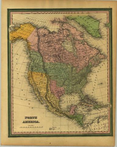
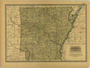
Get off the beaten path in Arkansas's natural areas, indulge your taste buds in true southern dives and immerse yourself in Authentic Arkansas with our hidden gems.
Perhaps the best known and most popular of the Arkansas Historic Preservation Programs (AHPP's) programs, the National Register of Historic Places is the country's official list of historically significant sites worthy of preservation.
The Arkansas State Archives was renamed from the Arkansas History Commission by Act 3 of the Third Extraordinary Session of the 90th General Assembly on July 1, 2016.
We are collecting stories from our Black communities statewide to preserve history in the making!
The Arkansas Heritage Grants promote awareness and enjoyment of Arkansas’s heritage.
The Division of Arkansas Heritage makes Arkansas grants available for historic preservation and the arts, as well as Heritage Month events.
Not able to visit us in person? The Arkansas State Archives offers limited research services to our patrons who cannot make it to one of our three locations. We currently offer up to two hours of free research.
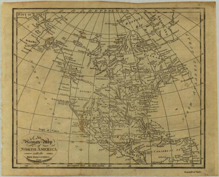
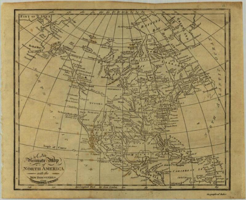
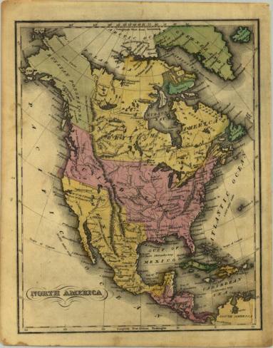
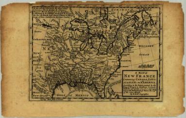
Holdings include traditional archival material such as letters, diaries, maps, photographs, newspapers and broadsides.
The Arkansas Heritage Program biodiversity database maintains information on the location and status of species of conservation concern in Arkansas.
Arkansas Historic Districts include individual buildings within Arkansas historic districts listed on the National Register of Historic Places.
DAH Blog
View information for DAH events.