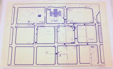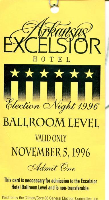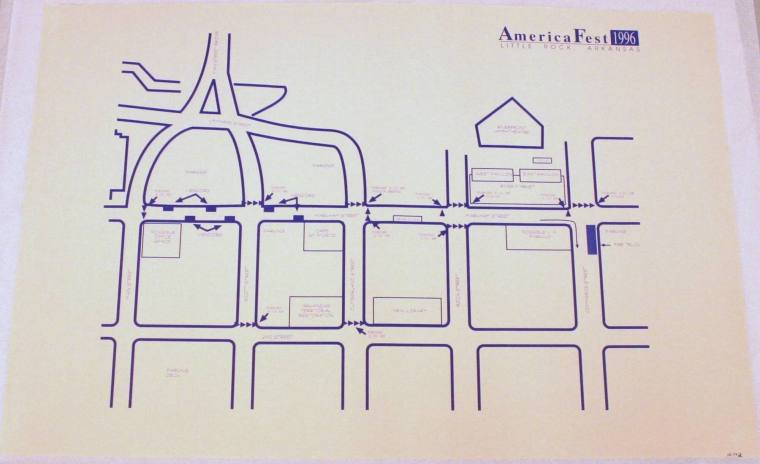
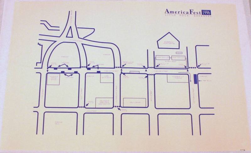
Map, Little Rock Map from 1996 Election
Object number1996.009.02
Date1996
Mediumpaper and ink
Dimensions24 x 36 in. (61 x 91.4 cm)
Credit LineOld State House Museum Collection
DescriptionDrawing done in blue ink on white paper, containing 5 blocks going east/west from Main to Broadway and four blocks going north from 3rd street. Includes Robinson Center, Doubletree Hotel, Old State House Museum, Excelsior Hotel, Capitol Hotel, Stephens Building, and Cromwell. Used by the United States Secret Service for security detailStatus
Not on view