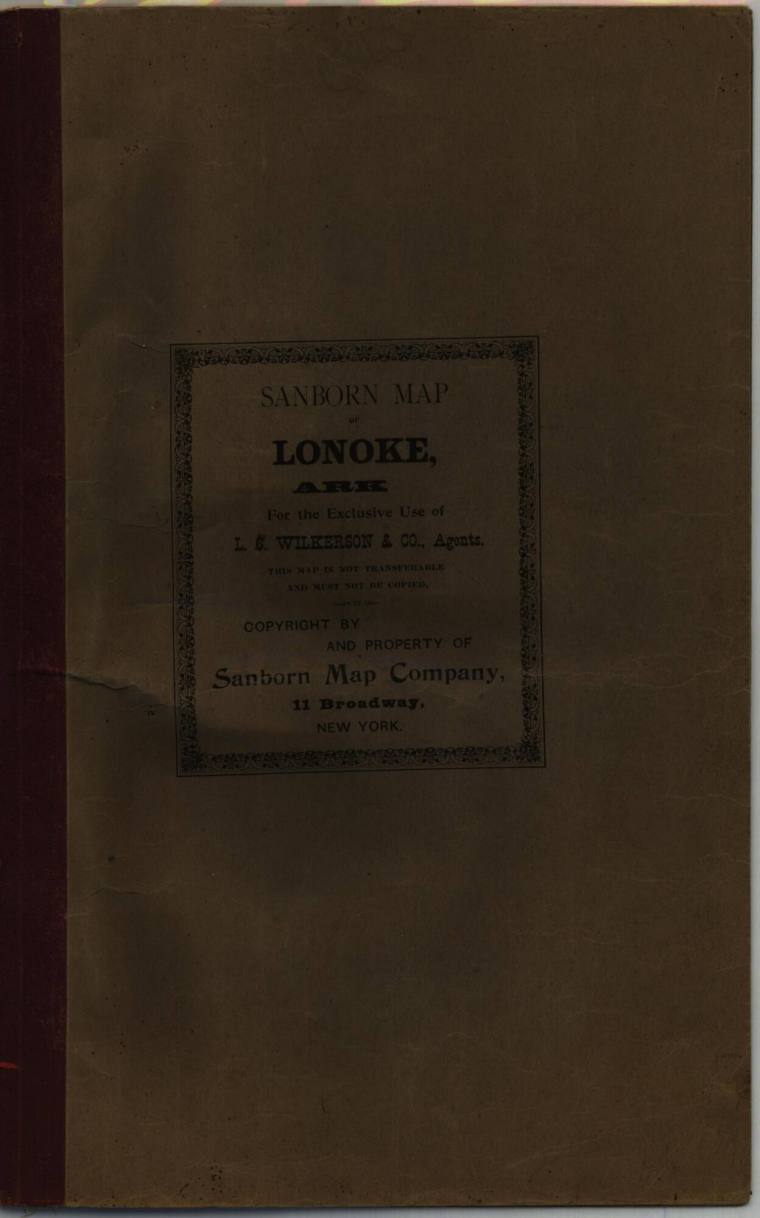
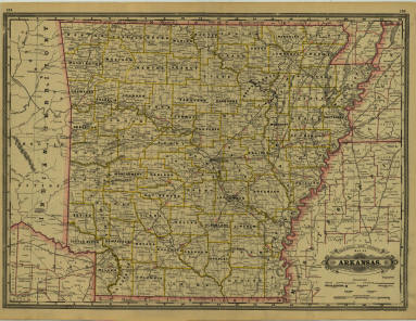
Map - Lonoke, Arkansas
Object number1984.021.62
Date1904
OriginLonoke, Arkansas
Mediumpaper and ink
DimensionsOverall: 13 1/4 x 21 in. (33.7 x 53.3 cm)
Credit LineOld State House Museum Collection
Terms
- Map
- Map
"For the exclusive use of L.C. Wilkinson and Company, Agents. This map is not transferrable and must not be copied-as it is- copyright by and property of sanborn Map company. 11 Broadway, New York"
1st page duplicate of cover text. Page2-3 street map of Lonoke with buildings in yellow and streets identified. Contains info on population oa of 1903 as well as info on fire fighting equipment availibility
There are many pencilled corrections and notations on all three map sections.
There is a hole and tear on pages 11 and 12 and the back cover.
Status
Not on viewCollections
June 10, 1936
1890
January 21, 1897