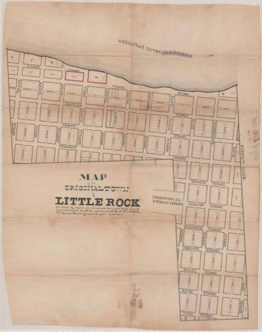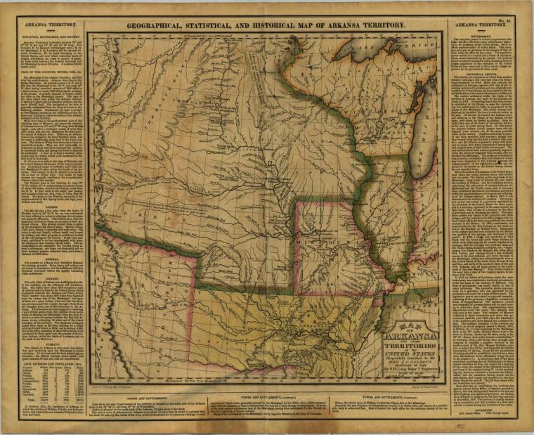
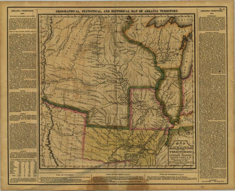
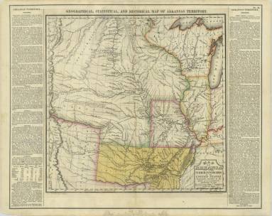
Map, Arkansas Territory
Object number1999.063.02
Date1825
Mediumpaper and ink
DimensionsOverall: 22 x 17 5/8 in. (55.9 x 44.8 cm)
Credit LineOld State House Museum collection
Terms
- Map
- Map
Status
Not on viewCollections
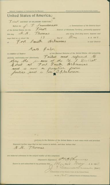
May 13, 1895
June 10, 1936
March 16, 1842